VirginiaHomes
General Santos City • Masterplanned Enclave
An elevated sanctuary of quiet rhythm and timeless form.
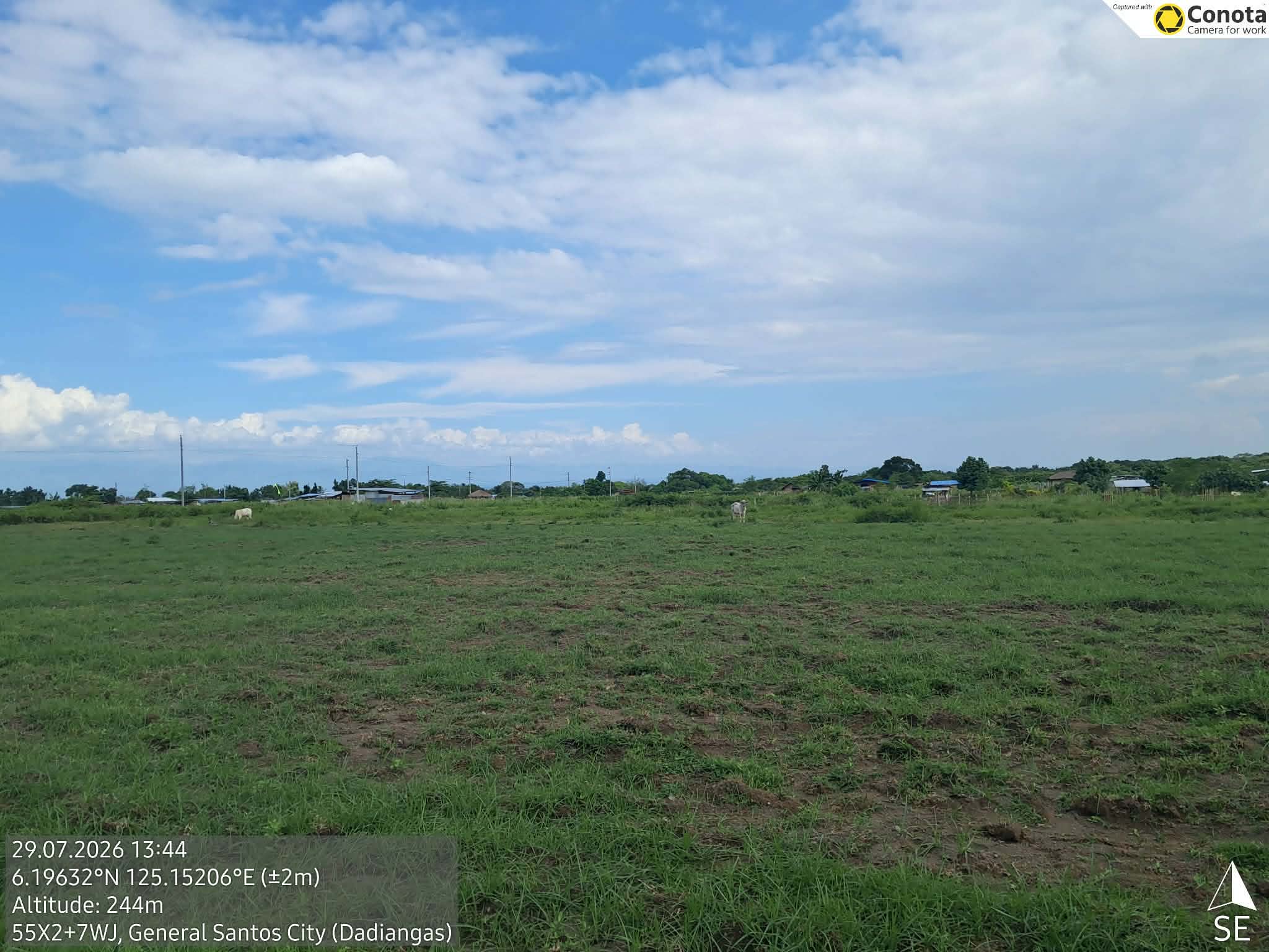
Positioned gracefully along the rolling landscape of Upper Labay and Silway 8, Virginia Homes conceives a quiet community sculpted around expansive horizons, biophilic living, and enduring structural craft.
Architectural Monograph
Curated Living Spaces
Single-attached residences conceived with clarity and proportion.
Engineered around the interplay of natural light, ventilation pathways, and disciplined simplicity. Each model integrates effortless private-public space separation.
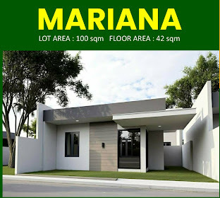
Mariana
Two-Bedroom Single-Attached Residence
Signature
Suite
Suite
Lot Allocation
100 sqm
Floor Footprint
42 sqm
Master Bedroom
Dedicated Private T&B
Secondary Bedroom
Generous Natural Illumination
Living & Dining Forum
6.00 + 4.80 sqm Unified Flow
Culinary Kitchen
Solid Granite Counter & Stainless Sink
Thermal Comfort
Split-Type Aircon Provisions
Register Interest for Mariana
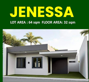
Jenessa
One-Bedroom Contemporary Residence
Refined
Studio
Studio
Lot Allocation
64 sqm
Floor Footprint
32 sqm
Private Bedroom
Split-Type AC Outlets Ready
Bath & Powder
Electric Hot Shower Provision
Living Chamber
Warm Ceramic Tile Flooring
Kitchen & Dining
Modern Linear Stone Prep Bar
Architectural Openings
Powder-Coated Sliding Glass Panels
Register Interest for Jenessa
The Geography of Sanctuary • Geological Advantage
Perched 238 meters above sea level in the gentle hills of General Santos.
Tucked along the scenic Silway 8 – Upper Labay Bypass route, the land enjoys cooler hillside temperatures, uninterrupted skyline views facing Mount Matutum, and uncrowded natural breezes far removed from inner-city congestion.
Liquefaction-Safe Hillside Foundation
Elevated 238m terrain situated on stable, non-alluvial bedrock formation, naturally protected from liquefaction hazards and coastal water-table saturation.
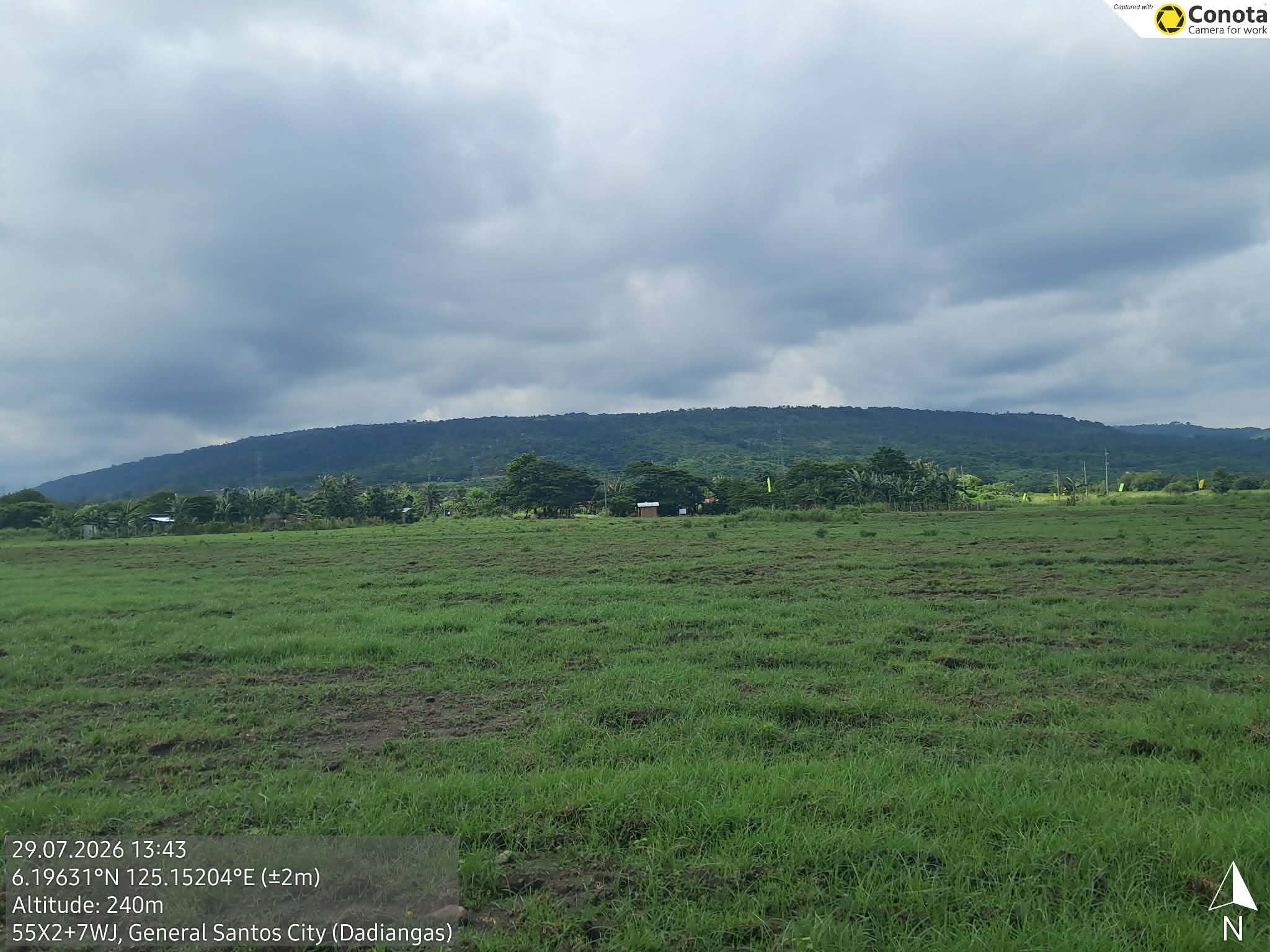
Coordinates: 6.19630° N, 125.15206° E
Actual Terrain Preview
Altitude: 238m • Liquefaction Safe
Wide rolling greensward facing unhindered mountain horizons. Clean, elevated topography on non-alluvial ground planned for stable structural foundations, natural runoff drainage, and zero coastal liquefaction risk.
Coordinates: 6.19630° N, 125.15206° E
Regional Connectivity
Direct Highway Access
Immediate connection to arterial bypass roads providing peaceful access to commercial centers, academic campuses, and GenSan International Airport within 15–25 minutes.
Curated Priority Registry
Submit Expression of Interest
Record your architectural preference for future notifications. Submissions are strictly non-binding expressions of interest to establish priority notifications once regulatory clearances are formalized.